Data will be developed, processed during the first year of the project. They should be available no earlier than June 2026. Validation will also be done, in particular with the case studies.
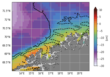
o An improved Mean Dynamic Topography in the Lofoten Pilot Site: a new approach will be tested to include available coastal observations, to increase the MDT spatial resolution, to pre-process the coastal data and to analyse the errors in input data. This dataset could improve coastal numerical models’ solutions and current velocities estimates.
o Improved gridded dynamic topography including SWOT-swaths data produced for the three Pilot sites: SWOT swaths’s contribution will be evaluated in coastal region and a work will be undertaken to better use the spatial resolution of these observations.
Dataset available at Ballarotta, M. (2025). ESA COASTDyn – European Seas Gridded MIOST L4 Sea Surface Heights And Derived Variables [Data set]. Zenodo. https://doi.org/10.5281/zenodo.16793036
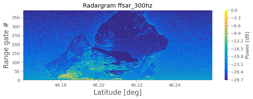
o A tidal product merging fully-focused SAR (FFSAR) and SWOT for the Wadden Sea Pilot Site: a preliminary Bayesian inference approach will be tested to couple the spatial information from SWOT with the refined estimations made by Sentinel-6 FFSAR.
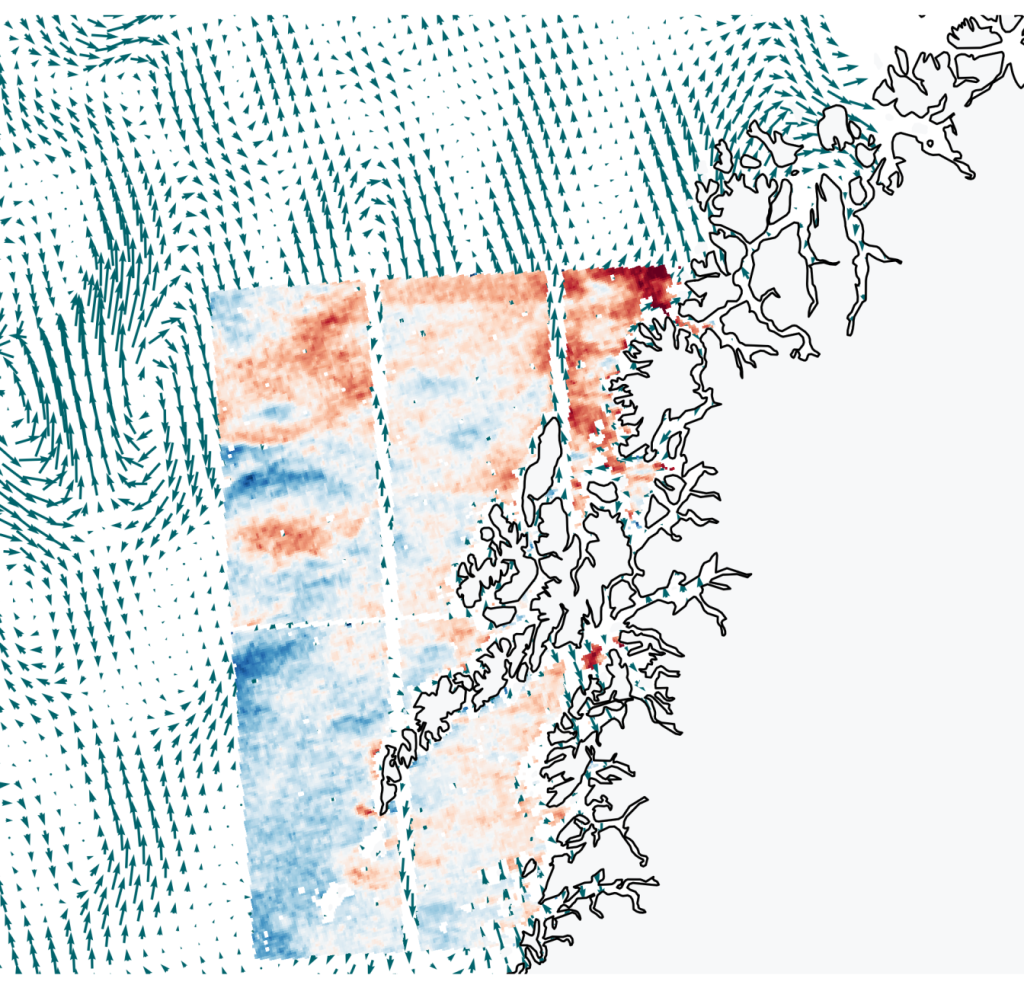
o A novel sea-surface total currents from SAR satellites observations in the Lofoten Pilot site. In this task, a new fully observational-based approach will provide more accurate estimates of the sea state contribution to the radial Doppler shift